2 entries match your criteria.
Related Historical Markers
By Cosmos Mariner, July 3, 2016
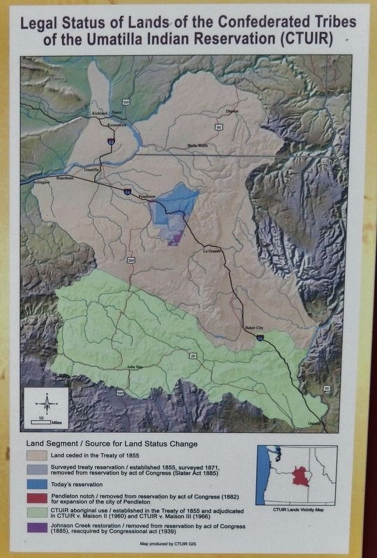
Marker detail: Legal Status of Lands of the Confederated Tribes of the Umatilla Indian Reservation
SHOWN IN SOURCE-SPECIFIED ORDER
1 ► Oregon, Umatilla County, Umatilla — Patímaša Tiičámna — They are Marking the Land —  |
| In 1855, Washington Territorial Governor Isaac Stevens and Oregon Territory Indian Superintendent Joel Palmer convened a treaty council in present-day Walla Walla, Washington with Yakama, Nez Perce, Cayuse, Umatilla and Walla Walla bands and . . . — — Map (db m114100) HM | |||
| 2 ► Oregon, Umatilla County, Umatilla — Cayuse, Umatilla and Walla Walla Homeland — |
| This land will always be home to the Cayuse, Umatilla and Walla Walla people. The land is used by and shared with relatives and neighbors such as the Palouse, Wanapum, Yakama, Wishxam, Wyam, Tenino and Nez Perce. In 1805 and 1806, . . . — — Map (db m114101) HM | |||