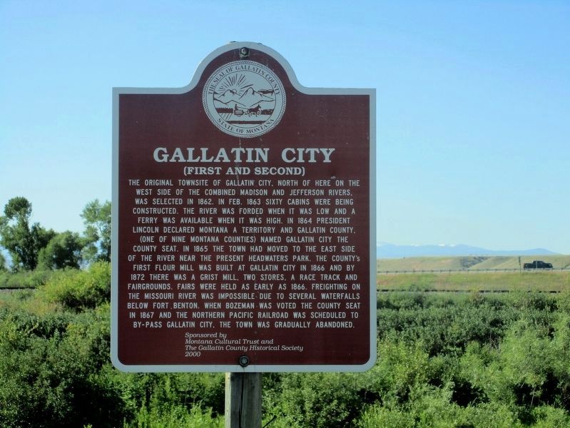
The original townsite of Gallatin City, north of here on the
west side of the combined Madison and Jefferson Rivers,
was selected in 1862. In Feb., 1863 sixty cabins were being
constructed. The river was forded when it was low and a
ferry was . . . — — Map (db m127042) HM
Built by Jarvis Akin, the Hotel was originally a one-room building of hand-hewn logs. It was the center of Gallatin City's social life; travelers sometimes complained of not being able to sleep because of the ruckus. As the town died, the Hotel was . . . — — Map (db m127043) HM
Log cabins were introduced to North America by the Swedes and Germans.
Because they were easy to build and made use of readily available materials, log cabins became the most common building on the frontier.
This cabin has dovetail notches and . . . — — Map (db m127044) HM
The Thomas-Frederick Mill was one of two built in the Gallatin Valley during the 1860’s to process locally-grown grains and to guarantee a reliable supply of flour and meal.
Flour from here was freighted regularly to the gold camps of Helena, . . . — — Map (db m127045) HM
In front of you is the site of Gallatin City, 1865-1880's. After it became obvious that steamboats could not operate economically from Fort Benton to the Headwaters, the town was relocated from the north side of the river to this location. Sitting . . . — — Map (db m126990) HM