Gettysburg in Adams County, Pennsylvania — The American Northeast (Mid-Atlantic)
The Common School
The Evolution of Gettysburg Schools
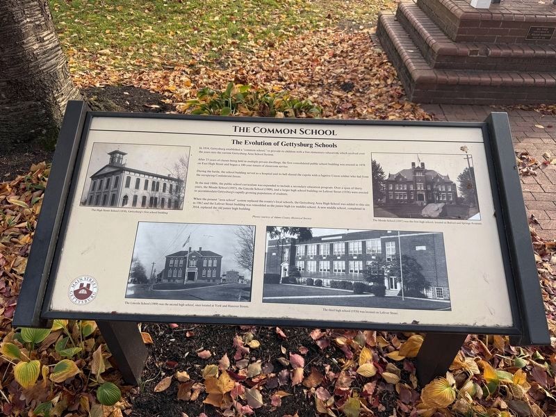
In 1834, Gettysburg established a "common school," to provide its children with a free elementary education, which evolved over the years into the current Gettysburg Area School System.
After 23 years of classes being held in multiple private dwellings, the first consolidated public school building was erected in 1858 on East High Street and began a 100-year tenure of clasroom service.
During the battle, the school building served as a hospital and its bell shared the cupola with a fugitive Union soldier who hid from the occupying Confederate forces.
In the mid 1880s, the public school curriculum was expanded to include a secondary education program. Over a span of thirty years, the Meade School (1897), the Lincoln School (1909), and a larger high school building on Lefever Street (1926) were erected to accommodate Gettysburg's rapidly growing population of students.
When the present "area school" system replaced the county's local schools, the Gettysburg Area High School was added to this site in 1962 and the Lefever Street building was remodeled as the junion high (or middle) school. A new middle school,
this page online
[Captions:]
The High Street School (1858), Gettysburg's first school building
The Meade School (1897) was the first high school, located at Buford and Springs Avenues.
The Lincoln School (1909) was the second high school, once located at York and Hanover Streets.
The third high school (1926) was located on Lefever Street.
Erected 2024 by Main Street Gettysburg. (Marker Number 40.)
Topics. This historical marker is listed in these topic lists: Education • Science & Medicine • War, US Civil. A significant historical year for this entry is 1834.
Location. 39° 49.52′ N, 77° 13.848′ W. Marker is in Gettysburg, Pennsylvania, in Adams County. It is at the intersection of Baltimore Street (Business U.S. 15) and Lefever Street, on the right when traveling north on Baltimore Street. Touch for map. Marker is at or near this postal address: 404 Baltimore St, Gettysburg PA 17325, United States of America. Touch for directions.

Regionally, this marker is in South-Central Pennsylvania. It is also in the American
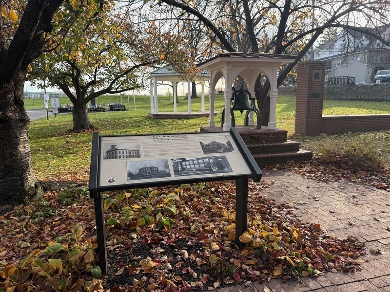
Other nearby markers. At least 8 other markers are within walking distance of this marker: The McCreary House (a few steps from this marker); Baltimore Street (a few steps from this marker); The Old Well (within shouting distance of this marker); ...Lincoln passed by... (within shouting distance of this marker); Communications Through Music (within shouting distance of this marker); Dr. Rufus Benjamin Weaver (within shouting distance of this marker); Unity Through Music (within shouting distance of this marker); History of American Field Music (within shouting distance of this marker). Touch for a list and map of all markers in Gettysburg.
Other markers no longer nearby. The Evolution of Gettysburg's "Common School" (was a few steps from this marker but has been replaced with another marker now near
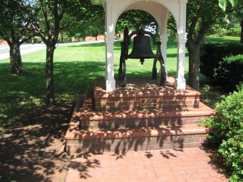
Photographed by Craig Swain, June 22, 2008
3. Memorial Bell
Related marker. Click here for another marker that is related to this marker. This marker has replaced the linked marker.
Credits. This page was last revised on November 12, 2026. It was originally submitted on November 12, 2026, by Devry Becker Jones of Washington, District of Columbia. This page has been viewed 5 times since then. Photos: 1, 2. submitted on November 12, 2026, by Devry Becker Jones of Washington, District of Columbia. 3. submitted on November 2, 2008, by Craig Swain of Leesburg, Virginia.
