THE HISTORICAL
MARKER DATABASE
“Bite-Size Bits of Local, National, and Global History”


2 entries match your criteria.  


Related Historical Markers
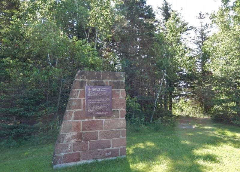
Survey of Prince Edward Island
 
By Cosmos Mariner, July 18, 2019
Survey of Prince Edward Island Monument & Marker
SHOWN IN SOURCE-SPECIFIED ORDER
1 ► Prince Edward Island, Queens County, Rocky Point — Survey of Prince Edward Island / Arpentage de Ľîle-du-Prince-Édouard —

English: In 1764 the British government decided to undertake a systematic survey of its North American territory, recently enlarged in the war with France. For this purpose Captain Samuel Holland was put in charge of the northern . . . — — Map (db m139436) HM
2 ► Prince Edward Island, Queens County, Rocky Point — A Great Survey / Un Arpentage de Taille —
English: Working out of Fort Amherst between 1764 and 1765, Captain Samuel Holland, an engineer, directed a small team to produce an accurate survey of every inch of St. John's Island. It was the first phase of a major survey of . . . — — Map (db m151802) HM


CeraNet Cloud Computing sponsors the Historical Marker Database.
This website earns income from purchases you make after using our links to Amazon.com. We appreciate your support.
Paid Advertisement
Oct. 1, 2026