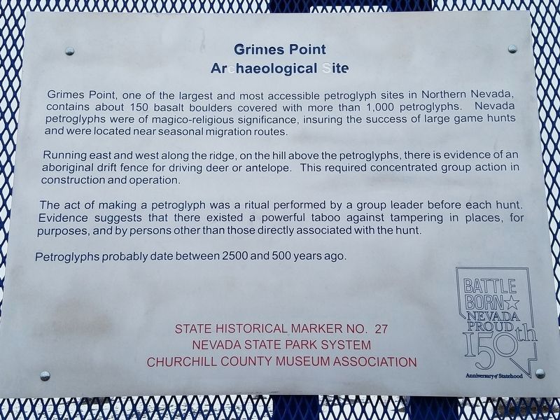
Grimes Point, one of the largest and most accessible petroglyph sites in northern Nevada, contains about 150 basalt boulders covered with petroglyphs. Nevada petroglyphs were of magico-religious significance in insuring the success of large game . . . — — Map (db m127115) HM
[side 1] The Cattail-Eater People (Toidikadi) Stillwater Marsh is located in the basin northwest of Grimes Point. When the first non-native explorers entered the area, it was the home of the Northern Paiute people, known as the . . . — — Map (db m165830) HM
The crater-like depressions and elongated grooves, seen on the boulder before you, possibly date back 7,000 years or more. This "Pit and Groove" petroglyph style is believed to be the oldest at Grimes Point. Depressions were made by striking the . . . — — Map (db m165831) HM
While petroglyphs were etched or scratched into the rock surface, pictographs were painted, using natural materials as pigments. One of the oldest petroglyph styles can be seen as circular and wavy lines and may be almost 3000 years old. The . . . — — Map (db m165832) HM
On the mountain slopes in the distance, you can see a series of horizontal lines or terraces etched into the side of the range. These beach lines are left by waves of ancient Lake Lahontan. Over 12,000 years ago, the lake reached a maximum depth . . . — — Map (db m165833) HM
Rock art in the Great Basin has often been linked to prehistoric game trails. While this seems strange for this barren scene, consider what this area was like thousands of years ago. Grimes Point would have been a peninsula surrounded by water, and . . . — — Map (db m165834) HM
According to anthropologists, many hunter-gatherer societies, such as those who lived here, had a spiritual leader called a shaman. During the hunt, the shaman was called on to perform rituals to ensure success. One theory is that some of the . . . — — Map (db m165835) HM