7 entries match your criteria.
Related Historical Markers
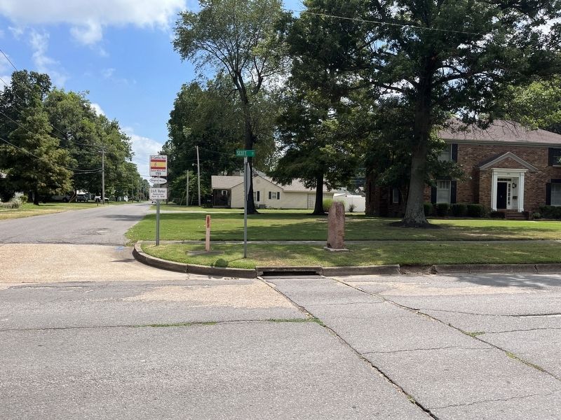
Surviving Red Granite Markers erected by the D.A.R. for the King's Highway (El Camino Real)
By Craig Swain, July 30, 2023
El Camino Real Marker
SHOWN IN SOURCE-SPECIFIED ORDER
| | New Madrid Cape Girardeau St. Genevieve St. Louis Erected by the Missouri Daughters of the American Revolution A.D. 1915. — — Map (db m243351) HM |
| | El Camino Real
New Madrid
Cape Girardeau
Ste. Genevieve
St. Louis — — Map (db m178405) HM |
| | El Camino Real
New Madrid
Cape Girardeau
Ste. Genevieve
St. Louis — — Map (db m163742) HM |
| | . . . — — Map (db m241959) HM |
| |
New Madrid
Cape Girardeau
Ste. Genevieve
St. Louis
— — Map (db m172480) HM |
| | El Camino Real
New Madrid
Cape Girardeau
Ste. Genevieve
St. Louis — — Map (db m144701) HM |
| | . . . — — Map (db m172878) HM |
Jun. 8, 2024