On Mercure Loop (State Highway 2) at U.S. 83 on Mercure Loop.
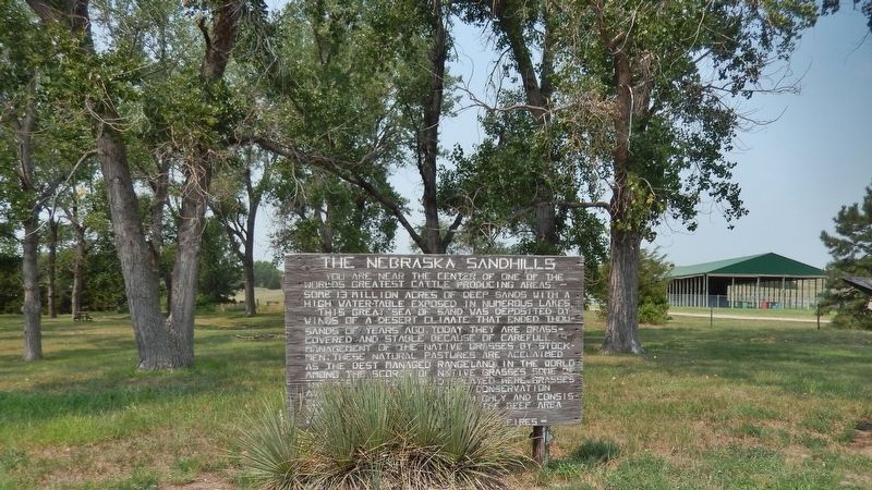
You are near the center of one of the world’s greatest cattle producing areas — some 13 million acres of deep sands with a high water-table exposed in numerous lakes. This great sea of sand was deposited by winds of a desert climate that ended . . . — — Map (db m180889) HM
On Mercure Loop (State Highway 2) at U.S. 83 on Mercure Loop.
The Sandhills, Nebraska’s most unique physiographic feature, covers about one-fourth of the state. The sandy soil acts like a giant sponge, soaking up rain and forming a vast underground reservoir. Hundreds of permanent lakes are found here. . . . — — Map (db m180875) HM