
Gettysburg in Potter County, South Dakota — The American Midwest (Upper Plains)
Medicine Rock
May 4, 2024
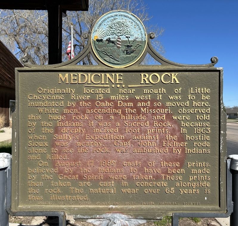
1. Medicine Rock Marker
Originally located near mouth of Little Cheyenne River 15 miles west it was to be inundated by the Oahe Dam and so moved here.
White men, ascending the Missouri, observed this huge rock on a hillside and were told by the Indians it was a Sacred Rock, because of the deeply incised foot prints. In 1863 when Sully's Expedition against the hostile Sioux was nearby, Capt. John Fielner rode alone to see the rock, was ambushed by Indians and killed.
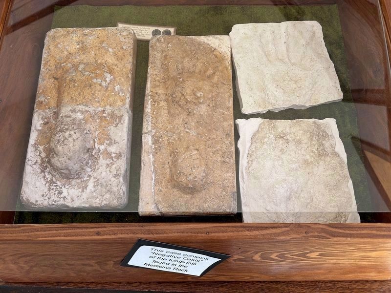
On August 17, 1889 casts of these prints, believed by the Indians to have been made by the Great Spirit were taken. These prints then taken are cast in concrete alongside the rock. The natural wear over 65 years is thus illustrated.
Erected 1954 by Potter County and South Dakota Historical Societies. (Marker Number 24.)
Topics and series. This historical marker is listed in these topic lists: Anthropology & Archaeology • Indigenous Peoples and Communities • Religion & Religious Structures. In addition, it is included in the South Dakota State Historical Society Markers series list. A significant historical date for this entry is August 17, 1889.
Location. 45° 0.695′ N, 99° 57.485′ W.
this page online

Regionally, this marker is in East River. It is also in the American Lewis & Clark Corridor, on the prairies, and on the Northern Plains. Globally, it is in North America, the Western Hemisphere, the Western World, and the Anglosphere. Historically, it finds itself in what was once Rupert’s Land and also the Louisiana Purchase.
Other nearby markers. At least 4 other markers are within walking distance of this marker: Potter County, South Dakota Civil War Memorial (approx. 0.2 miles away); Potter County, South Dakota Veteran's Memorial (approx. 0.2 miles away); Gettysburg, South Dakota (approx. 0.2 miles away); Schlachter Building (approx. 0.2 miles away).
Related marker. Click here for another marker that is related to this marker.
Also see . . .
1. Rediscovering Íŋyaŋ Phežúta, the lost Medicine Rock of the Lakota.
May 4, 2024
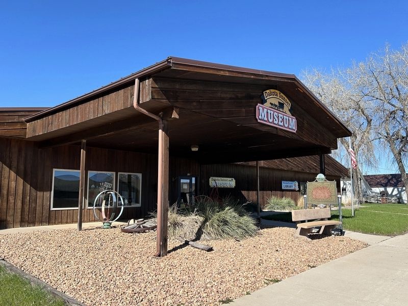
2. Medicine Rock Marker
2. The Medicine Rock of South Dakota. Rootstalk website entry (Submitted on May 7, 2024.)
May 4, 2024
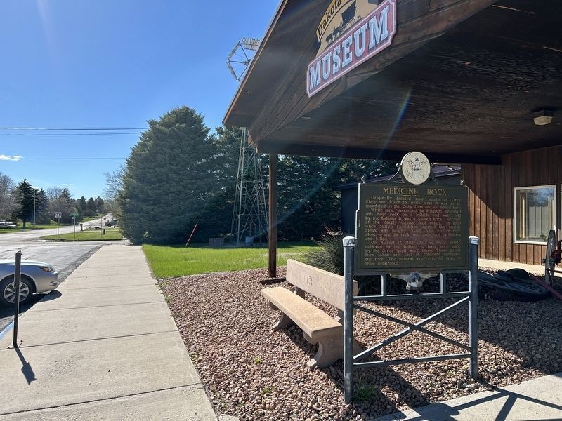
3. Medicine Rock Marker, from the east
May 4, 2024
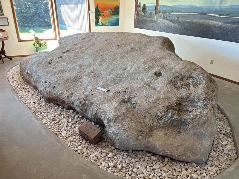
4. Medicine Rock on exhibit at the Dakota Sunset Museum
May 4, 2024
5. Negative Casts of the prints in the Medicine Rock
May 4, 2024
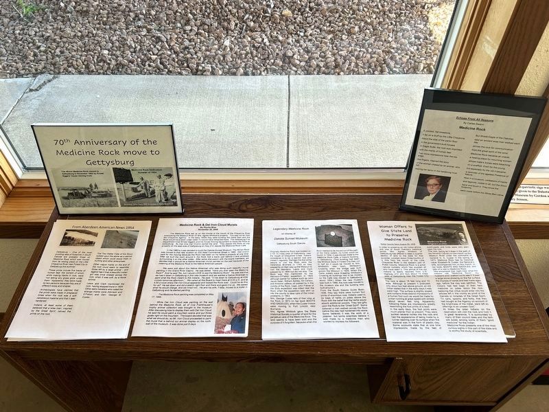
6. Part of the Medicine Rock Exhibit
Credits. This page was last revised on December 27, 2024. It was originally submitted on May 7, 2024. This page has been viewed 877 times since then and 111 times this year. Photos: 1, 2, 3, 4, 5, 6. submitted on May 7, 2024.
