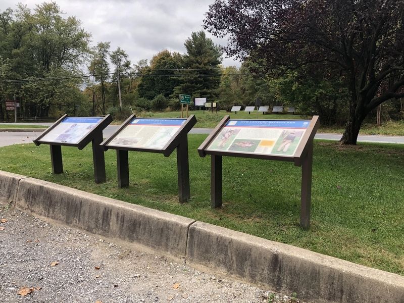
On Old National Pike (Alternate U.S. 40) at Washington Monument Road, on the right when traveling east on Old National Pike.
The Battle of South Mountain erupted on September 14, 1862, when elements of the Union army tried to drive the Confederate rear guard from Crampton’s, Fox’s, and Turner’s Gaps and break through to the western side of the mountain to attack . . . — — Map (db m1519) HM
On Reno Monument Road at the Appalachian Trail, on the left when traveling west on Reno Monument Road.
No other document of the Civil War has generated so much controversy as Lee's Special Orders No. 191. These “Lost Orders” detailed the movements of Lee's army for the operation against Harpers Ferry. On September 9 Lee sent copies of the order to . . . — — Map (db m2042) HM
On Old National Pike (Alternate U.S. 40) near Washington Monument Road, on the right when traveling west.
On September 4, 1862, General Robert E. Lee, hoping to shorten the war by winning a decisive victory on Northern soil, crossed the Potomac River into Maryland. Lee planned to draw the Army of the Potomac through South Mountain into Pennsylvania and . . . — — Map (db m2040) HM
On Gapland Road at Arnoldstown Road, on the left when traveling west on Gapland Road.
(Left Side) On September 4, 1862, General Robert E. Lee, hoping to shorten the war by winning a decisive victory on Northern soil, crossed the Potomac River into Maryland. Lee planned to draw the Army of the Potomac through South Mountain into . . . — — Map (db m2039) HM
Near Urbana Pike (State Highway 355), on the right when traveling north.
After crossing the Potomac River early in September 1862, Confederate Gen. Robert E. Lee reorganized the Army of Northern Virginia into three separate wings. On September 9, he promulgated his campaign strategy - to divide his army, send Gen. Thomas . . . — — Map (db m18381) HM
On E. Harrison St (State Road 46) at N. Washington St, on the right when traveling west on E. Harrison St.
Mitchell, Co. F, 27th Indiana Volunteers, is buried in
Hartsville Baptist Cemetery. He found Confederate General
Lee's "Lost" Special Orders No. 191 near Frederick, MD, September 13, 1862. Union General McClellan then engaged Lee at the Battle . . . — — Map (db m63806) HM