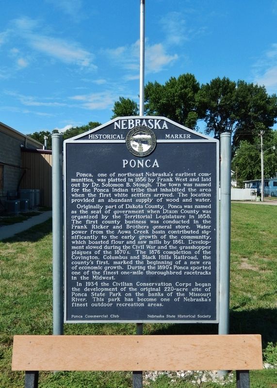
On West 3rd Street (State Highway 26E) just east of North Nebraska Street, on the right when traveling west.
Ponca, one of northeast Nebraska’s earliest communities, was platted in 1856 by Frank West and laid out by Dr. Solomon B. Stough. The town was named for the Ponca Indian tribe that inhabited the area when the first white settlers arrived. The . . . — — Map (db m206794) HM
On Highway 26 E Spur 0.6 miles north of Highland Road.
This region was first inhabited by prehistoric Indians. When French traders and trappers explored the river in the early 1700's, the Ioway Indians occupied this area. Later explorers, such as Lewis and Clark, also traveled the Missouri. White . . . — — Map (db m170764) HM