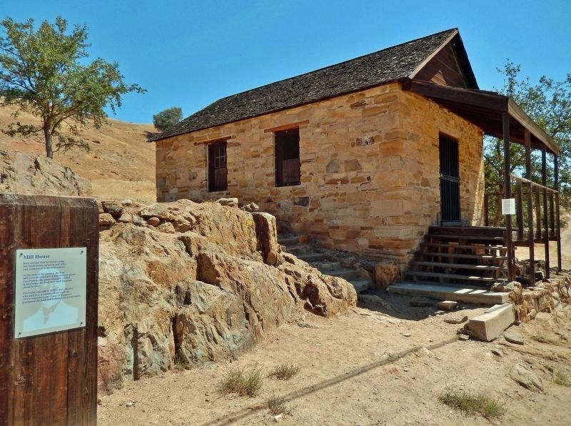
Near Covered Bridge Road 0.2 miles east of Sonora Road (Main Street).
Built around 1854 by David Locke, this small house served as mill office and residence over the next century. At the turn of the century, the flour mill was converted into a hydroelectric plant. Tom Prowse, the plant manager, resided in this . . . — — Map (db m213062) HM
Near Covered Bridge Road 0.2 miles east of Sonora Road (Main Street).
Electrical generation requires water moving with great force. When the mill was converted to a powerhouse in 1899, water from upstream was channeled into a ditch that ended at the top of the hill to your left. The wooden structure you see on the . . . — — Map (db m213066) HM
In the late 1850’s David Loche built Knights Ferry’s first flour mill. It was destroyed by the flood of 1862, and a second new mill was built here by David Tulloch.
A dam upstream diverted water to a water wheel which turned the millstones. . . . — — Map (db m12928) HM