2 entries match your criteria.
Related Historical Markers
By Cosmos Mariner, June 7, 2022
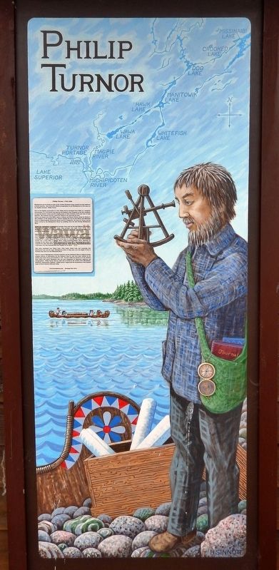
Philip Turnor Marker
SHOWN IN SOURCE-SPECIFIED ORDER
1 ► Ontario, Algoma District, Wawa, Michipicoten — Philip Turnor — 1752-1800 —  |
| Michipicoten can be found on some of the earliest European maps created by early explorers of North America. One of the first official cartographers to put Michipicoten on the map was the English surveyor Philip Turnor. Born in the English . . . — — Map (db m218634) HM | |||
| 2 ► Ontario, Algoma District, Wawa — The Michipicoten Canoe Route — |
| The nearby Michipicoten River formed an important link in the canoe route from Lake Superior to James Bay via the Michipicoten, Missinaibi and Moose Rivers. The route was probably explored at an early date by the French Fur traders who maintained a . . . — — Map (db m199496) HM | |||