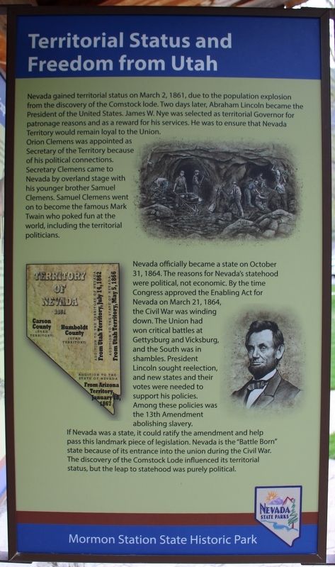
On Main Street at Genoa Lane (Nevada Route 206), on the right when traveling north on Main Street.
Panel One:
Utah Territory
The area now making up the state of Nevada was acquired by the United States after the Mexican-American War. This newly acquired land was generally labeled as unorganized territory until 1850. The State of . . . — — Map (db m227650) HM
Near Main Street south of Kinsey Way, on the right when traveling north.
The structure in front of you is a chicken house, built sometime between 1920 and the 1940s. The building features a nesting room, a brooder room for raising chicks, and a storage room for feed and supplies. Families that lived on this property in . . . — — Map (db m227666) HM
Near Main Street south of Kinsey Way, on the right when traveling north.
By 1900 the town of Gardnerville had replaced Genoa as Carson Valley's commerce center. Hotels, stores, and liveries in Genoa closed, and buildings stood vacant. One Genoa couple saw a shuttered hotel as the key to a better life for their . . . — — Map (db m227670) HM