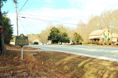
Fort Daniel was completed in 1813 to protect the frontier from Indians aroused by the British during the War of 1812. Presumably named for General Allen Daniel, the fort was garrisoned by the 25th Regiment of Georgia Militia. To further protect the . . . — — Map (db m26485) HM
At Fort Daniel on Hog Mountain, about 12 miles NE, began the original Peachtree Road to the village of Standing Peachtree on the Chattahoochee River. This old road was opened to haul military supplies to the river. These were to be floated . . . — — Map (db m21577) HM
[Left panel]
Present day Northwest Georgia was a very different place in the late 1700s. Due to conflict with the region's Creek and Cherokee people, white settlers constructed small forts to protect themselves along treaty boundaries. One . . . — — Map (db m197714) HM