2 entries match your criteria.
Related Historical Markers
By Evan Dwyer, January 25, 2025
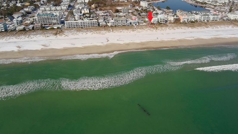
Marker Gazebo Proximity to the Wreck
SHOWN IN SOURCE-SPECIFIED ORDER
1 ► North Carolina, New Hanover County, Carolina Beach — Blockade Running —  |
| In April 1861, President Abraham Lincoln ordered a naval blockade of the major southern ports from Virginia to Texas. This ambitious effort was intended to weaken the Confederate War effort by preventing cotton, the South's most important export, . . . — — Map (db m276103) HM | |||
| 2 ► North Carolina, New Hanover County, Carolina Beach — Shipwreck Site — |
| Since its sinking, the General Beauregard was forgotten by both the winners and losers of the American Civil War. Submerged in sand and sea water, deterioration caused by oxidation and electrolysis occurred rapidly at first and gradually . . . — — Map (db m276109) HM | |||