THE HISTORICAL
MARKER DATABASE
“Bite-Size Bits of Local, National, and Global History”


2 entries match your criteria.  


Related Historical Markers

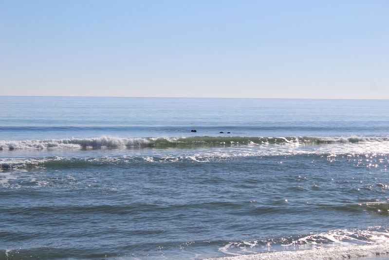
These two other markers combine with this one within the gazebo to add context to the shipwreck off shore.
 
By Evan Dwyer, January 25, 2025
General Beauregard Shipwreck
SHOWN IN SOURCE-SPECIFIED ORDER
1 ► North Carolina, New Hanover County, Carolina Beach — The General Beauregard —
Near Lake Drive at Carolina Beach Avenue South when traveling east.
The General Beauregard was an iron-hulled side wheel steamer 223 feet, 2 inches long. Formerly the Havelock, it was built in 1858 at Govan, Scotland to serve as a ferry between Glasgow and Dublin. Chicora Importing and Exporting . . . — — Map (db m276094) HM
2 ► North Carolina, New Hanover County, Carolina Beach — Blockade Running —
Near Lake Drive at Carolina Beach Avenue South when traveling east.
In April 1861, President Abraham Lincoln ordered a naval blockade of the major southern ports from Virginia to Texas. This ambitious effort was intended to weaken the Confederate War effort by preventing cotton, the South's most important export, . . . — — Map (db m276103) HM


CeraNet Cloud Computing sponsors the Historical Marker Database.
This website earns income from purchases you make after using our links to Amazon.com. We appreciate your support.
Paid Advertisement
Oct. 10, 2026
