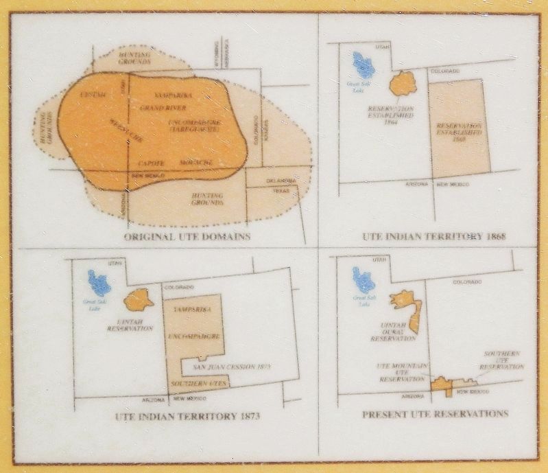
The Utes For many centuries, Hoosier Pass served as a link between two important Ute hunting grounds — South Park and Middle Park — the heart of the tribe's mountain domain. By the 1400s or 1500s these hunter-gatherers occupied territory from . . . — — Map (db m282086) HM
Hoosier Pass lies on the Continental Divide, the lofty meandering spine of mountains that separates the Atlantic and Pacific watersheds. Nineteenth-century pioneers dreaded the barrier, particularly its high, difficult Colorado stretches; for that . . . — — Map (db m282092) HM
This memorial is the property of the State of Colorado Hoosier Pass Across Continental Divide between South Park and the Blue River Altitude 11,542 feet Crossed by Fremont 1844 Named for Hoosier . . . — — Map (db m171494) HM