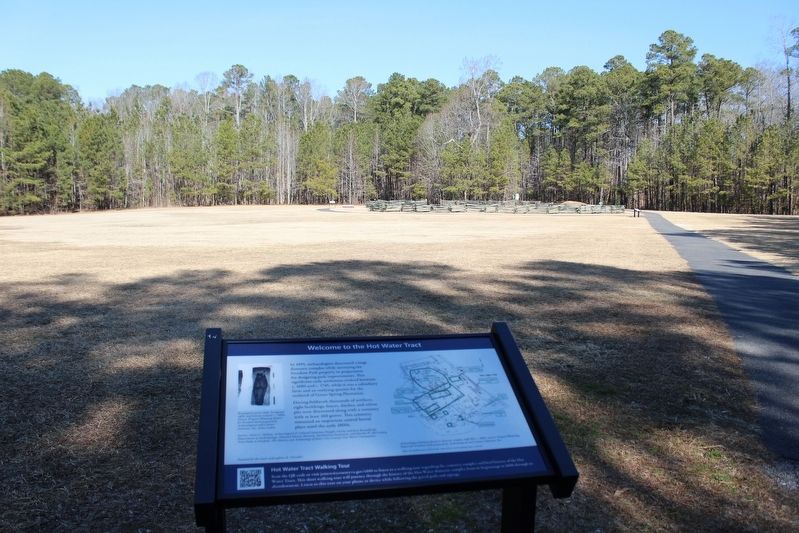
Near Hotwater Trail 1 mile west of Centerville Road (Virginia Route 614), on the right when traveling west.
In 1995, archaeologists discovered a large domestic complex while surveying the Freedom Park property in preparation for designing park improvements. This significant early settlement evolved between c. 1680 and c. 1745, while it was a subsidiary . . . — — Map (db m295081) HM
Near Hotwater Trail 1 mile west of Centerville Road (Virginia Route 614), on the right when traveling west.
Archaeological Analysis
Freedom Park is located on part of the Hot Water Tract, which totaled approximately 1,782 acres. This cemetery contains the remains of at least 160 people. Burials of infants, children and adults were discovered at . . . — — Map (db m295084) HM
Near Hotwater Trail 1 mile west of Centerville Road (Virginia Route 614), on the right when traveling west.
As you explore the cemetery grounds, imagine what life was like at "the Hot Water Tract." Please remember this is the final resting place of as many as 160 people now "known only to God."
Sources: Alain C. Outlaw, Archaeological & . . . — — Map (db m295087) HM