THE HISTORICAL
MARKER DATABASE
“Bite-Size Bits of Local, National, and Global History”


4 entries match your criteria.  


Related Historical Markers

 
By G.W.Bartlett, April 4, 2026
First “Town House” Marker
SHOWN IN SOURCE-SPECIFIED ORDER
1 ► Massachusetts, Norfolk County, Weymouth — First “Town House” —
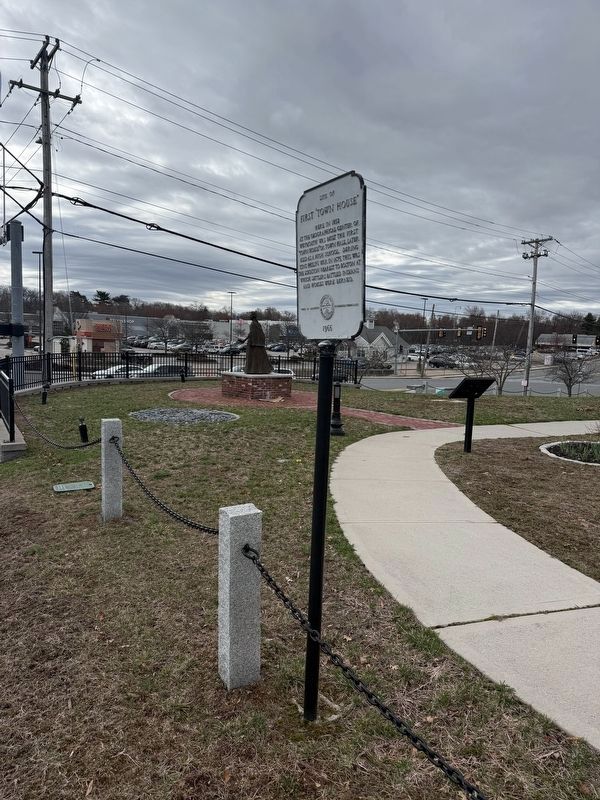
Site of first “Town House” Here in 1852 at the geographical center of Weymouth was built the first “Town House” or Town Hall, later used as a high school. During King Philip’s War in 1675, this was the location nearest to Boston at which settlers . . . — — Map (db m296638) HM
2 ► Rhode Island, Bristol County, Bristol — Mount Hope — Sacred Land of the Pokanokets — A Sowams Heritage Area Site —
Mount Hope (originally Montaup in the Pokanoket language) is a wooded promontory on the eastern shore of Bristol, Rhode Island overlooking the part of Narragansett Bay known as Mount Hope Bay. Before the European settlers arrived in New England, . . . — — Map (db m301431) HM
3 ► Massachusetts, Norfolk County, Canton — Ponkapoag Plantation — 1630 - 1930 —
The north line of Ponkapoag Plantation second of the Apostle Eliot's Praying Indian towns, set apart by the Dorchester Proprietors in 1657. — — Map (db m308384) HM
4 ► Rhode Island, Bristol County, Bristol — In the Miery Swamp — King Philip Fell —
In the 'Miery Swamp,' 100 feet W.S.W. from this spring, according to tradition, King Philip fell, August 12, 1676, O.S. — — Map (db m307142) HM


CeraNet Cloud Computing sponsors the Historical Marker Database.
This website earns income from purchases you make after using our links to Amazon.com. We appreciate your support.
Paid Advertisement
Oct. 10, 2026
