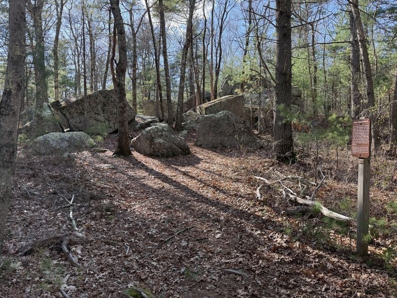
Near Mansfield Road east of East Foxboro Road, on the left when traveling east.
Here is a place where Native Americans may have met to strategize during King Philip's War (1675-76). This major conflict between colonists and a number of native tribes started in Rhode Island and southern Massachusetts and ended with the death . . . — — Map (db m298163) HM WM
Near Metacom Avenue (Rhode Island Route 136) 0.1 miles south of Mount Hope Avenue, on the right when traveling north.
Mount Hope (originally Montaup in the Pokanoket language) is a wooded promontory on the eastern shore of Bristol, Rhode Island overlooking the part of Narragansett Bay known as Mount Hope Bay. Before the European settlers arrived in New England, . . . — — Map (db m301431) HM