THE HISTORICAL
MARKER DATABASE
“Bite-Size Bits of Local, National, and Global History”


2 entries match your criteria.  


Related Historical Markers

 
By Steve Stoessel, May 13, 2026
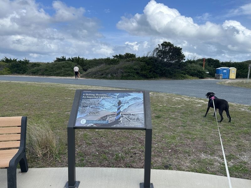
A Shifting Shoreline, An Imperiled Lighthouse Marker
SHOWN IN SOURCE-SPECIFIED ORDER
1 ► North Carolina, Dare County, Buxton — A Shifting Shoreline, An Imperiled Lighthouse — Cape Hatteras National Seashor —
Near Lighthouse Road.
Look toward the ocean and you will see where the Cape Hatteras Lighthouse used to be - now marked by a single wooden post. When it was built in 1870, the lighthouse was 1,500 feet from the ocean. Over the years, wind and water moved sands and slowly . . . — — Map (db m300401) HM
2 ► North Carolina, Dare County, Buxton — Inching Inland — Cape Hatteras National Seashore —
Near Lighthouse Road.
Starting June 17, 1999, engineers began a monumental job: to move the nation's tallest lighthouse away from the shore. First, workers lifted the 4,830-ton structure from its foundation. Then they eased the lighthouse onto a platform atop a 700-foot . . . — — Map (db m300520) HM


CeraNet Cloud Computing sponsors the Historical Marker Database.
This website earns income from purchases you make after using our links to Amazon.com. We appreciate your support.
Paid Advertisement
Oct. 15, 2026
