On Child Street (Rhode Island Route 103) at Hugh Cole Road, on the right when traveling east on Child Street.
The town of Warren was first settled by people from the Pokanoket Tribe, later known as the Wampanoag. The Pokanoket controlled the land from Plymouth to the eastern shores of Narragansett Bay. In 1620, “Osamequin”, which translates as “Yellow . . . — — Map (db m301430) HM
On Child Street (Rhode Island Route 103) at Hugh Cole Road, on the right when traveling east on Child Street.
The town of Warren was first settled by people from the Pokanoket Tribe, later known as the Wampanoag. The Pokanoket controlled the land from Plymouth to the eastern shores of Narragansett Bay. In 1620, “Osamequin”, which translates as “Yellow . . . — — Map (db m301430) HM
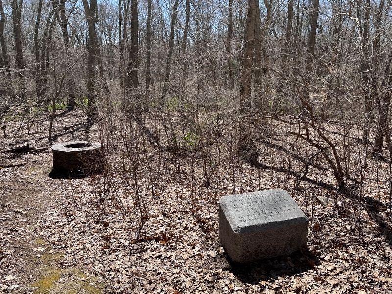
Dighton Council Oak
Meeting Place of the Wampanoag Indians
Here King Philip met with his braves. This tree marks the center of the “old field”. Near here was the largest Indian settlement in Dighton. — — Map (db m301420) HM WM