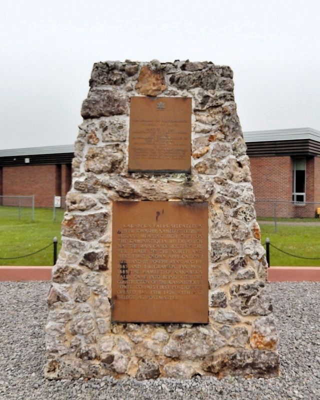
Kakabeka Falls situated in Oliver Township, named by Ojibway Indians meaning high cliff, on the Kaministiquia River, which was the main canoe route of the fur trade to the North and West. First known applications for land by Joseph Ryan, Aug. 1st, . . . — — Map (db m309998) HM
This chain of rivers, lakes and portages linking the St. Lawrence system with the waterways of the prairies had been known to the Indians for centuries when Jacques de Noyon first travelled it in 1688. After 1800, when the boundary settlement had . . . — — Map (db m106543) HM
This portage around Kakabeka Falls formed a link in the historic Kaministiquia canoe route connecting Lake Superior with Lake of the Woods and the West. First recorded in 1688 by the French explorer Jacques de Noyon, it was later abandoned in . . . — — Map (db m106547) HM