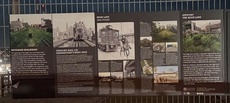
The opening of the High Line at the Rail Yards completes the northernmost phase of the park, connecting Gansevoort Street to 34th Street. Unlike the High Line to the south, this section features a simple path through the existing self-seeded . . . — — Map (db m312615) HM
The 19th century brought a population boom and rapid growth in manufacturing to New York City. To serve the growing metropolis, freight rail lines were constructed along the city streets and waterfronts. The High Line was built by New York Central . . . — — Map (db m313080) HM
1840s An Industrial Waterfront
The West Side of Manhattan is the country's busiest industrial waterfront. In 1847, the City of New York authorizes street-level railroad tracks. Trains from Hudson River Railroad, which later becomes the New . . . — — Map (db m313085) HM