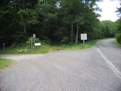
Two miles west on the former Staunton-to-Parkersburg Turnpike is Camp Allegheny, the highest Civil War fortification east of the Mississippi. Its rolling meadows and spectacular views belie a punishing winter climate. The turnpike was completed in . . . — — Map (db m32880) HM
Confederate forces led by Col. Edward Johnson held a fortified camp here in winter of 1861-62. Sharp attack occurred, Dec. 13, 1861, in which the Union troops under Gen. Robert Milroy were beaten off. — — Map (db m32890) HM
West Virginia, born of a nation divided, was the setting for the first campaign of America's Civil War. Although still part of Virginia in 1861, many citizens of the west remained loyal to the Union, rather than the Confederacy. By late May, Union . . . — — Map (db m32889) HM
Early in the 1800s, growing western settlement spured a push to improve transportation routes over the Appalachian Mountains. In 1822, Virginia authorized a survey of the route that became the Staunton to Parkersburg Turnpike. Connecting the upper . . . — — Map (db m32884) HM
Camp Allegheny, also known as Camp Baldwin and Camp Johnson, was constructed in the summer of 1861 by Confederate forces in order to control the Staunton-Parkersburg Turnpike. (present day Pocahontas County Route 3). Following the October 3, 1861 . . . — — Map (db m32895) HM