THE HISTORICAL
MARKER DATABASE
“Bite-Size Bits of Local, National, and Global History”


5 entries match your criteria.  


Related Historical Markers

To better understand the relationship, study each marker in the order shown.
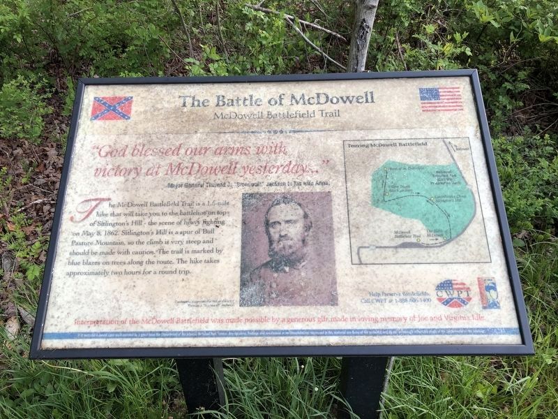
 
By Devry Becker Jones (CC0), May 8, 2021
The Battle of McDowell Marker
SHOWN IN SOURCE-SPECIFIED ORDER
1 ► Virginia, Highland County, McDowell — The Battle of McDowell — McDowell Battlefield Trail
On Highland Turnpike (U.S. 250), on the left when traveling west. Reported permanently removed.
2 ► Virginia, Highland County, McDowell — The Battle of McDowell — May 8, 1862
Near U.S. 250, on the right when traveling east. Reported permanently removed.
3 ► Virginia, Highland County, McDowell — The Battle of McDowell — Confederates Climb Sitlington's Hill
Near U.S. 250, on the right when traveling east. Reported permanently removed.
4 ► Virginia, Highland County, McDowell — The Battle of McDowell — Union Troops Attack Jackson
Near U.S. 250, on the right when traveling east. Reported permanently removed.
5 ► Virginia, Highland County, McDowell — The Battle of McDowell — Heart of the Battlefield — Elevation – 2,815 Feet
Near U.S. 250, on the right when traveling east. Reported permanently removed.


CeraNet Cloud Computing sponsors the Historical Marker Database.
This website earns income from purchases you make after using our links to Amazon.com. We appreciate your support.
Paid Advertisement
Oct. 4, 2026