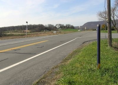
Fort Henry, built 1756 to guard Lebanon Valley from Delaware and Shawnee raids, stood 3/4 mile northwest of here on the Tulpehocken Path. The trail came over the mt. near where present road cutting is seen. Round Head overlooks it from east. — — Map (db m29542) HM
An Indian path from Shamokin (Sunbury) came over the mts. by way of Klingerstown and Pine Grove to Weiser's place in the Tulpehocken Valley. Chiefs of the Six Nations, carrying "words of wampum" to Brother Onas (Penn) at Philadelphia, traveled this . . . — — Map (db m38797) HM
The Indian Ambassadors Road turned east near here over the hills to the Tulpehocken Valley. Used by Iroquois chiefs from Onondaga, now Syracuse, carrying peace wampum from the "Fire that Never Dies" to Philadelphia. Often traveled by Shickellamy. — — Map (db m14405) HM
"Pilgrim's Rest" was the name given to this spring on the Tulpehocken Path by Count Zinzendorf, the Moravian missionary, on his journey to the Indian towns of Shamokin and Wyoming in 1742. — — Map (db m29551) HM