16 entries match your criteria.
Related Historical Markers
Virtual tour of the Gordon Flank Attack Trail by markers.
By Craig Swain, May 9, 2009
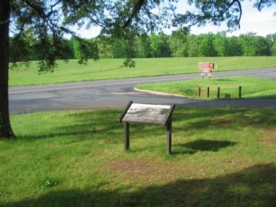
Saunders Field Marker
SHOWN IN SOURCE-SPECIFIED ORDER
| On Constitution Highway (State Highway 20), on the right when traveling west. |
| On Constitution Highway (State Highway 20), on the right when traveling west. |
| On Constitution Highway (State Highway 20), on the right when traveling west. |
| Near Constitution Highway (Virginia Route 20), on the right when traveling west. |
| Near Constitution Highway (State Highway 20), on the right when traveling west. |
| Near Constitution Highway (State Highway 20), on the right when traveling west. |
| Near Constitution Highway (State Highway 20), on the right when traveling west. |
| Near Constitution Highway (State Highway 20), on the right when traveling west. |
| Near Constitution Highway (State Highway 20), on the right when traveling west. |
| Near Constitution Highway (State Highway 20), on the right when traveling west. |
| Near Constitution Highway (State Highway 20), on the right when traveling west. |
| Near Constitution Highway (State Highway 20), on the right when traveling west. |
| On Constitution Highway (State Highway 20), on the right when traveling west. |
| On Constitution Highway (State Highway 20), on the right when traveling west. |
| On Constitution Highway (State Highway 20), on the right when traveling west. |
| On Constitution Highway (State Highway 20), on the right when traveling west. |
Jun. 1, 2024