Beneath these cliffs, Henry Hudson’s Half-Moon was welcomed by the Lenni Lenape Indians on September 3, 1609.
Nearly 167 years later, this giant Bluff Rock became a strategic stronghold in the American War for Independence as the conflict . . . — — Map (db m7707) HM
Mortar shells from this battery plummeted down in high soaring arcs upon the warships, tearing through the canvas sails and bursting upon the wooden deck.
This mortar battery, joined with heavy guns on both sides of the River, made running the . . . — — Map (db m7705) HM
The military magazine derives its name from the Arabic word, “Makhazin”, meaning granary, or storehouse. Revolutionary War magazines were constructed with emphasis on fire and waterproofing, easy accessibility to the guns serviced and . . . — — Map (db m7742) HM
Fortifications were protected by obstacles, such as an abatis, or other major hindrances to assaulting troops. They were easily placed before a parapet, or breastwork, wherever trees were plentiful and were used to supplement defensive rampart . . . — — Map (db m7735) HM
This defensive breastwork was built on the western edge of the bluff and guarded the road from Burdette’s Ferry to the west (to the Bastion). The parapets of timber filled with soil were built upon a stone base and were sufficient height to afford . . . — — Map (db m7710) HM
The word “cannon” is derived from the Latin canna, meaning tube, pipe or gun and dates back to the 13th Century. In the 1400’s, the term described a cylinder made from iron bars “soldered” together and fortified with . . . — — Map (db m7737) HM
(1) July 12 - Fort Lee’s fortifications laid out. Together with Fort Washington on the opposite bank and aided by a river barrier, the twin fortresses are intended to thwart British control of the Hudson.
(2) July 12 - General Howe’s forces . . . — — Map (db m189474) HM
At Fort Lee, “hutting” – the building of permanent huts – was started at General Greene’s command to:
“Fix proper places for barracks, none to be nearer the fort than 50 rods…build timber huts…boards are to be had only for the roof. The huts . . . — — Map (db m7738) HM
This battery was believed to be the “Barbette Battery” as its location commanded a large field of fire of the river, stretching North to South from the Chevaux-De-Frise to the Bluff Rock’s southern edge.
A Barbette Battery’s guns fired over a . . . — — Map (db m7740) HM
On July 12th, 1776, the British warships Phoenix and Rose sailed beneath the unarmed Bluff Rock, later named Fort Lee. This provocative action led Congress to order General Washington “By every art and whatever expense to obstruct effectively . . . — — Map (db m7712) HM
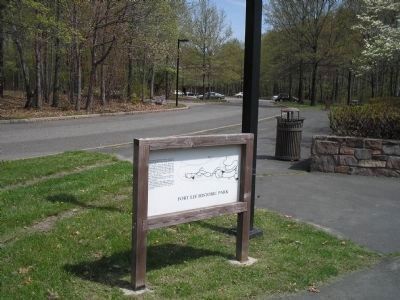
Palisades Interstate Park has been designated a Registered National Historic Landmark under the provisions of the Historic Sites Act of August 21, 1935 this site possesses exceptional value in commemorating and illustrating the History of the United . . . — — Map (db m7344) HM