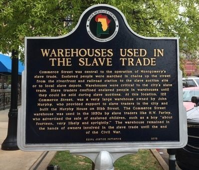
On Commerce Street 0.1 miles north of Bibb Street (Alabama Route 108), on the right when traveling north.
The Montgomery Slave Trade. Montgomery had grown into one of the most prominent slave trading communities in Alabama by 1860. At the start of the Civil War, the city had a larger slave population than Mobile, New Orleans, or Natchez, . . . — — Map (db m70715) HM
On Montgomery Street at Commerce Street, on the right when traveling west on Montgomery Street.
Side A The city’s slave market was at the Artesian Basin (Court Square). Slaves of all ages were auctioned, along with land and livestock, standing in line to be inspected. Public posters advertised sales and included gender, approximate . . . — — Map (db m28187) HM