Marker Logo HMdb.org THE HISTORICAL
MARKER DATABASE
“Bite-Size Bits of Local, National, and Global History”
Results contain just this marker . . .
Riceboro in Liberty County, Georgia — The American South (South Atlantic)
 

Woodmanston Plantation


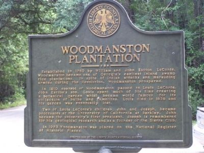
Woodmanston Plantation Marker, close-up image. Click for full size.
Photographed By Mike Stroud, July 8, 2008
1. Woodmanston Plantation Marker, close-up
Inscription. Established in 1760 by William and John Eatton LeConte, Woodmanston became one of Georgia's earliest inland swamp rice plantations. In spite of Indian attacks and marauding armies during the Revolution, Woodmanston prospered.

In 1810 control of Woodmanston passed to Louis LeConte, John Eatton's son. Louis spent much of his time creating a botanical garden which became world famous for its collection of bulbs and camellias. Louis died in 1838 and his garden was eventually lost.

Two of Louis LeConte's children, John and Joseph, became professors at the University of California at Berkley. John became the university's first president. Joseph is remembered for his geological research and as a founder of the Sierra Club.

In 1973 Woodmanston was placed on the National Register of Historic Places.
 
Erected 1996 by The Liberty County Historical Society.
 
Topics. This historical marker is listed in these topic lists: Colonial EraEducationHorticulture & ForestryScience & MedicineSettlements & Settlers. A significant historical year for this entry is 1760.
 
Location. 31° 42.331′ N, 81° 29.275′ W. Marker is in Riceboro, Georgia, in Liberty County. Marker is on Barrington Ferry Road, one mile
Paid Advertisement
Click on the ad for more information.
Please report objectionable advertising to the Editor.
Click or scan to see
this page online
south of Sandy Run Road, on the left when traveling east. Barrington Ferry Road is unpaved. Touch for map. Marker is in this post office area: Riceboro GA 31323, United States of America. Touch for directions.
 
Other nearby markers. At least 8 other markers are within 5 miles of this marker, measured as the crow flies. William Bartram Trail (here, next to this marker); Simon Munro (approx. 1˝ miles away); First African Baptist Church (approx. 3.3 miles away); "Lest We Forget" (approx. 3.3 miles away); Riceborough (approx. 3.9 miles away); LeConte Botanical Gardens (approx. 4.4 miles away); Lambert Plantation (approx. 4.8 miles away); Old Post Road (approx. 4.9 miles away). Touch for a list and map of all markers in Riceboro.
 
Additional keywords. NRHP
 
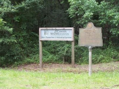
Woodmanston Plantation Marker image. Click for full size.
Photographed By Mike Stroud, July 2008
2. Woodmanston Plantation Marker
LeConte's Woodmanston
Rice Plantation & Botanical Garden
Woodmanston Plantation Marker, Barrington Ferry Rd, South view image. Click for full size.
Photographed By Mike Stroud, July 8, 2008
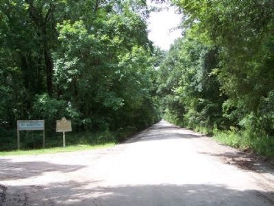
3. Woodmanston Plantation Marker, Barrington Ferry Rd, South view
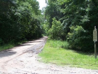
Woodmanston Plantation Marker, drive way to plantation image. Click for full size.
Photographed By Mike Stroud, July 2008
4. Woodmanston Plantation Marker, drive way to plantation
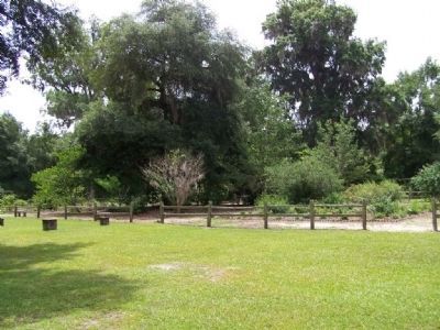
Woodmanston Plantation, today's remains image. Click for full size.
Photographed By Mike Stroud, July 8, 2008
5. Woodmanston Plantation, today's remains
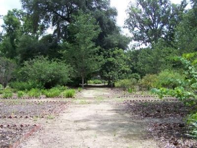
Woodmanston Plantation partial garden view image. Click for full size.
Photographed By Mike Stroud, July 8, 2008
6. Woodmanston Plantation partial garden view
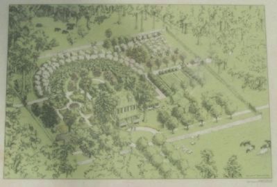
Woodmanston Plantation on-site artist 's concept image. Click for full size.
7. Woodmanston Plantation on-site artist 's concept
Woodmanston Plantation, more gardens image. Click for full size.
Photographed By Mike Stroud, July 8, 2008
8. Woodmanston Plantation, more gardens
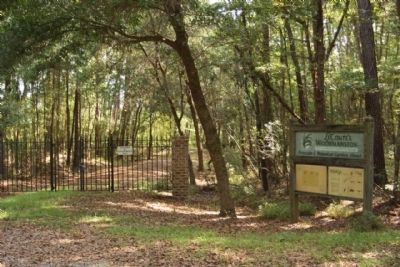
Woodmanston Plantation 2011 gate image. Click for full size.
Photographed By Mike Stroud, August 18, 2011
9. Woodmanston Plantation 2011 gate
 
 
Credits. This page was last revised on November 16, 2019. It was originally submitted on July 9, 2008, by Mike Stroud of Bluffton, South Carolina. This page has been viewed 2,155 times since then and 74 times this year. Photos:   1, 2, 3, 4, 5, 6, 7, 8. submitted on July 9, 2008, by Mike Stroud of Bluffton, South Carolina.   9. submitted on August 22, 2011, by Mike Stroud of Bluffton, South Carolina. • Kevin W. was the editor who published this page.
Share this page.  
Share on Tumblr
m=9020

CeraNet Cloud Computing sponsors the Historical Marker Database.
This website earns income from purchases you make after using our links to Amazon.com. We appreciate your support.
Paid Advertisement
Apr. 24, 2024