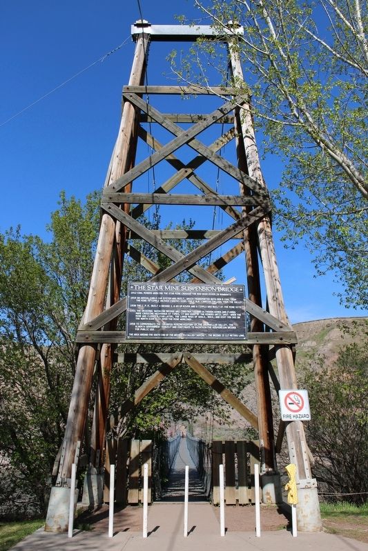
On Mabbott Road east of Starmine Drive, on the left when traveling east.
1912 Coal miners working in the Star Mine crossed the Red Deer River in rowboats.
1919 An aerial cable car system was built, which transported both men & coal from the mine to tipple on this (south) side, The C.N.R. carried the coal . . . — — Map (db m196998) HM
On Century Drive West 0.2 kilometers west of Hwy 10 / 569, on the left when traveling west.
[English] Atlas No. 3 (1936-1956) played a central role in the coal industry of the Drumheller Valley, a leading area in the production of Canadian coal. The mine employed skilled miners and used mechanized equipment to produce . . . — — Map (db m196996) HM