On Southern Yellowhead Highway (Provincial Highway 5) 2.4 kilometers south of Bear Road, on the left when traveling south.
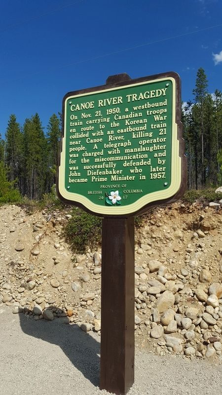
On Nov. 21, 1950, a westbound
train carrying Canadian troops
en route to the Korean War
collided with an eastbound train
near Canoe River, killing 21
people. A telegraph operator
was charged with manslaughter
for the miscommunication and
was . . . — — Map (db m187887) HM
Near Yellowhead Highway (Provincial Highway 16) at British Columbia-Alberta boundary line, on the right when traveling west.
Named after “Tete Jaune”, blond fur trader at Jasper House, this low pass was favoured by Sandford Fleming in his railway surveys of the 1870's. Rejected by the C.P.R., the route was later used by the Grand Trunk Pacific and the Canadian Northern . . . — — Map (db m187943) HM
On Yellowhead Highway (Provincial Highway 16) 24.8 kilometers west of Icefields Parkway (Provincial Highway 93), on the right when traveling west.
[English] This pass was used for brief periods from the mid-1820s to the early 1850s by the Hudson's Bay Company, principally to transport leather, especially moosehides, from the Saskatchewan District to its posts in New Caledonia. . . . — — Map (db m202600) HM
Near Viewpoint Road, 0.2 kilometers east of Kinney Lake Road, on the left when traveling east.
In 1942, over 21,000 Japanese Canadians were unjustifiably removed from British Columbia's coast. Despite their protests many men aged 19 to 60+ were torn from their families and sent to road camps like Red Pass. Internees gave 290,238 man-days of . . . — — Map (db m187875) HM
On Caine Drive, 0.5 kilometers from Connaught Drive.
Simon Fraser's men cut the first spruce logs near the junction of the Nechako and Fraser Rivers in 1807 to construct Fort George. Starting near the original fort a century later, Prince George became in the 1940's the centre of the white spruce . . . — — Map (db m187962) HM