On Dease Lake Highway/Stewart-Cassiar Highway (Provincial Highway 37) 5.6 kilometers south of Bob Quinn Forest Service Road, on the right when traveling south.
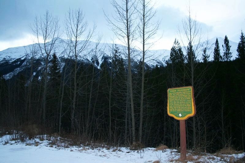
Born of the Klondike Gold Rush of 1898, the 1,900 mile Dominion Telegraph Line linked Dawson City with Vancouver via the CPR wires through Ashcroft. Built in 1899-1901, the line blazed a route across this vast northern section of the Province but . . . — — Map (db m187925) HM
On Yellowhead Highway (Provincial Highway 16) 13 kilometers south of Cedarvale Ferry Road, on the right when traveling south.
From 1889, sternwheelers and smaller craft fought their way through the Coast Mountains, churning past such awesome places as “The Devil's Elbow” and “The Hornet's Nest”. Men and supplies were freighted upstream, furs and gold downstream. A quarter . . . — — Map (db m187963) HM
On Highway 62 just north of Tse Kya Road, on the left when traveling north.
First bridge built in 1856
Described as a graceful wooden spiderweb, the first Hagwilget Bridge was built by the indigenous population using only knives and axes. It was 150 feet long, and swayed 100 feet above the churning waters of the . . . — — Map (db m198556) HM
On Government Street at Bay Street, on the left when traveling north on Government Street.
Head of sternwheeler navigation on the Skeena. The town grew at the landing close to the Indian village of Gitenmaks. Crews from the Collins Telegraph arrived in 1866. Following them Omineca gold miners, Hudson’s Bay pack strings and “gandy . . . — — Map (db m9073) HM
On Yellowhead Highway (National Route 16), on the right when traveling west.
This site, once the largest village of the Bulkley Valley Indians, later was named after the pioneer missionary, Father Morice. Salmon, staple food of the Indian, concentrated in the canyon and were caught with basketry traps, dip-nets, and . . . — — Map (db m9072) HM
The Gitxsan are people of the Skeena River or River of Mist. For 10,000 years the Gitxsan have dwelled in their traditional territory and today approximately 13,000 members live in communities known as Gitwangak, Gitanyow, Gitsegukla, Hagwilget, . . . — — Map (db m187933) HM