6 entries match your criteria.
Historical Markers in Kitimat-Stikine, British Columbia
© Murray Lundberg (used by permission), December 31, 2005
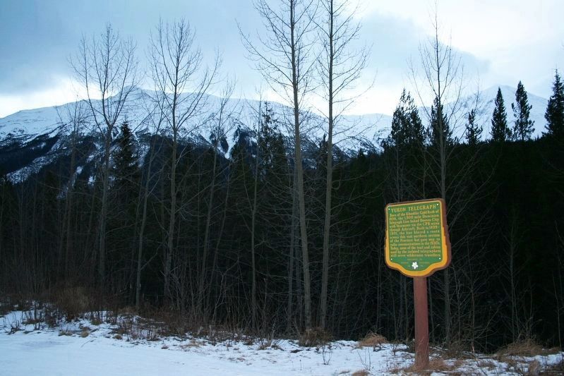
Yukon Telegraph Marker
GEOGRAPHIC SORT Title Sort Marker Number Sort Marker Number Sort N Marker Number Sort T Publication Order Sort Publication Order Sort A Erected Year Sort Most Viewed Sort Most Recent-Interest Sort Most Recently Changed Sort SEE FAQ #33 FOR DESCRIPTIONS
On Dease Lake Highway/Stewart-Cassiar Highway (Provincial Highway 37) 5.6 kilometers south of Bob Quinn Forest Service Road, on the right when traveling south.
On Yellowhead Highway (Provincial Highway 16) 13 kilometers south of Cedarvale Ferry Road, on the right when traveling south.
On Highway 62 just north of Tse Kya Road, on the left when traveling north.
On Government Street at Bay Street, on the left when traveling north on Government Street.
On Yellowhead Highway (National Route 16), on the right when traveling west.
Near 9 Avenue just west of Churchill Road.
May. 5, 2024