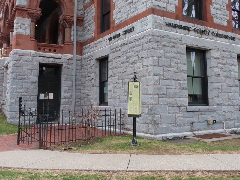
On Pleasant Street (U.S. 5) at Main Street (Massachusetts Route 9), on the right when traveling south on Pleasant Street.
Northampton is the "Shire Town" or county seat for Hampshire County. When it was officially established in 1662, Hampshire County became the fifth county of the Massachusetts Bay Colony. The county originally included all of Western Massachusetts. . . . — — Map (db m194797) HM
On Mohawk Trail (Massachusetts Route 2) east of Burrington Road, on the right when traveling west.
The home was shared by Roger (President, Franklin County Anti-Slavery
Society 1836, Vice President Massachusetts Anti-Slavery Society 1838-39)
and Chloe Maxwell Leavitt, parents of Roger Hooker.
The site was a safe house from 1838-1844 for . . . — — Map (db m280353) HM
On Eunice Williams Drive 0.5 miles Leyden Road, on the left when traveling west.
Eunice Williams, wife of the Reverend John Williams "The Redeemed Captive," was killed at this place on March 1, 1704, during the Deerfield massacre. — — Map (db m29069) HM
On West Front Street west of Elm Street, on the right when traveling west.
Washington Railroad Depot Burns
Confederate General Marmaduke's forces were advancing on Washington as October 1864 approached, with fear and widespread panic among the town's residents. Many citizens crossed the river to evade the advance of . . . — — Map (db m239173) HM
Founding Father
Born in Massachusetts, Benjamin Franklin (1706-1790) is
remembered as the elder statesman of the American cause
during the Revolutionary War. Beyond the political arena, he
pursued many interests, including higher . . . — — Map (db m309137) HM
Thin black lines indicate changes in relevance. Between each pair of lines entries are ordered geographically but all have the same relevance.
* Inflectional forms of words are their plurals, singulars, and possessives as well as gramatical tenses and similar variations.