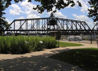
Near Rodman Avenue 0.1 miles Government Bridge, on the right when traveling east.
Fort Armstrong was built in 1816-1817. Its riverside was protected by limestone bluffs and its other sides were formed in part by the rear walls of barracks and storehouses. Blockhouses, like the replica, stood at three corners. The pyramid of . . . — — Map (db m33225) HM
On Main Street south of High Street, on the right when traveling south.
Prudence Crandall (1803-1890) was a white teacher who gained fame for conducting an advanced academy for Black women in Canterbury, Connecticut. Sparked by discussions with Maria Davis, a Black woman who shared abolitionist literature with her, . . . — — Map (db m250332) HM
Near 46th Avenue (Illinois Route 3) 0.3 miles east of 15th Street, on the right when traveling east.
A true friend of the American cause during the Revolutionary War. His village occupied these and adjacent grounds and withstood a British war party on its way to attack General George Rogers Clark in 1779.
This also commemorates the burning of . . . — — Map (db m201880) HM
Thin black lines indicate changes in relevance. Between each pair of lines entries are ordered geographically but all have the same relevance.
* Inflectional forms of words are their plurals, singulars, and possessives as well as gramatical tenses and similar variations.