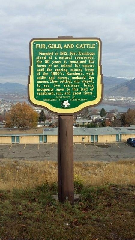
Near Columbia Street West 0.3 kilometers west of Grandview Terrace, on the right when traveling west.
Founded in 1812, Fort Kamloops stood at a natural crossroads. For 50 years it remained the focus of an inland fur empire until the roaring mining boom of the 1860's. Ranchers, with cattle and horses, replaced the miners. They settled, and stayed, . . . — — Map (db m188009) HM
Near Dallas Drive, on the left when traveling west.
Bill Miner, notorious American stagecoach and train robber, stole $7,000 in British Columbia's first train holdup, near Mission in 1904. For two years, unsuspected, he lived quietly near Princeton, well-liked by all. In 1906 he stopped the wrong . . . — — Map (db m187878) HM
On Chief Alex Thomas Way 0.2 kilometers south of Chief Eli Larue Way, on the left when traveling east.
The school was built in 1890, then re-built in 1923 due to a fire and remained open until 1977. In the 1920's, Native children aged 4-15 years were forcibly taken and prohibited from seeing their families, practicing their languages, cultures, and . . . — — Map (db m187877) HM
On Trans-Canada Highway (Provincial Highway 1) 3.4 kilometers north of Holloway Drive, on the right when traveling north.
Smooth rivers and great lakes once were the highways of travel. On them plied stately paddle-wheelers, helping exploration and settlement of the Interior. They speeded gold-seekers bound for the “Big Bend” rush of 1864-65. They freighted grain from . . . — — Map (db m187961) HM