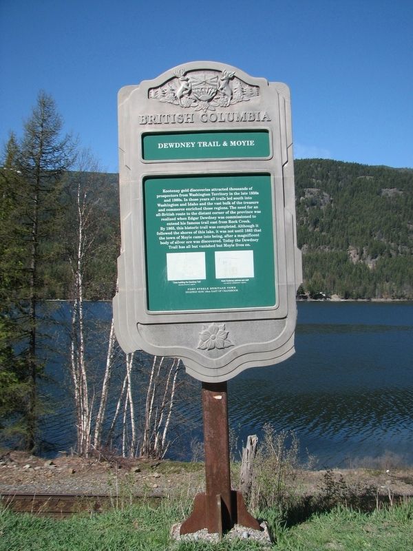
On Crowsnest Highway (Provincial Highway 3/95) 0.4 kilometers south of Half Moon Avenue, on the right when traveling south.
Kootenay gold discoveries attracted thousands of prospectors from Washington Territory in the late 1850s and 1860s. In those years all trails led south into Washington and Idaho and the vast bulk of the treasure and commerce enriched those regions. . . . — — Map (db m187913) HM
On Crowsnest Highway (Provincial Highway 3/95) 0.3 kilometers south of Half Moon Avenue, on the right when traveling south.
In 1893 a Kootenay Indian, Pierre, found a rich galena outcrop in the hills nearby. Father Coccola of St. Eugene Mission arranged sale of the claims, and with the proceeds built a new home for Pierre and a new mission church. Development of the . . . — — Map (db m187928) HM