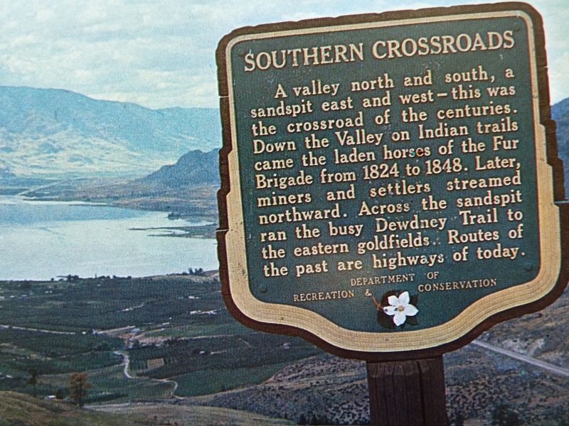
On Crowsnest Highway (Provincial Highway 3) 0.2 kilometers west of Observatory Road, on the right when traveling west.
A valley north and south, a sandspit east and west — this was the crossroad of the centuries. Down the valley on Indian trails came the laden horses of the Fur Brigade from 1824 to 1848. Later, miners and settlers streamed northward. Across the . . . — — Map (db m187930) HM
On Crowsnest Highway (Provincial Highway 3) at Kobau Look-Out Forest Service Road, on the right when traveling south on Crowsnest Highway.
The Okanagan nation knows Spotted Lake, just east of here, as K t li lxw. From time immemorial its healing waters and mud were used by First Nations to cure aches and illness, and for spiritual healing. High concentrations of Epsom . . . — — Map (db m187927) HM