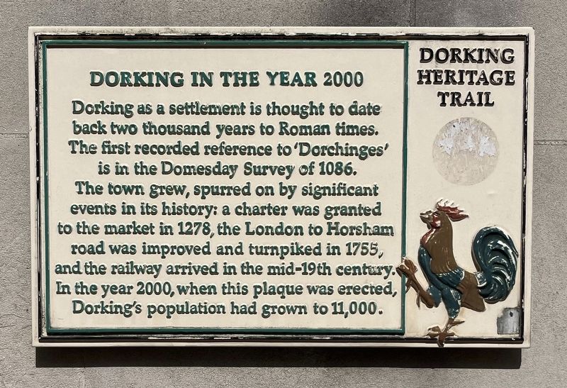
Dorking as a settlement is thought to date back two thousand years to Roman times. The first recorded reference to 'Dorchinges' is in the Domesday Survey of 1086. The town grew, spurred on by significant events in its history: a charter was granted . . . — — Map (db m304804) HM
1914 1919
In Memory of Dorking Men
Who Fell in the Great War
Alderman T.P. · Ansell J. · Arthur E.J. · Barker H.A. · Barker H. · Barker H.C. · Batson A.W. · Baxter F.H. · Baxter P.J. · Bell T. · Biggs R.H. · Bishop G.L. · Boggis R. · Bonfield . . . — — Map (db m130262) WM
Designed by Henry Woodyer and opened in 1874, this is the third church recorded on the site. Its short-lived predecessor, built in 1836, replaced a 12th century cruciform building with central tower. A church mentioned in Domesday, probably smaller . . . — — Map (db m304801) HM
Master Builder
Born 1788 - Died 1855 at "Denbies", Dorking
"A Great Builder and a Good Man"
This statue was generously donated by
Adrian White CBE of Denbies - May 2000 — — Map (db m304802) HM
An inn called the Upper Chequers occupied this site in the 16th and 17th centuries. It became a grocer's shop in the late 19th century with bow windows thrown out to the street. In 1968 it was rebuilt by Robert Dyas but the former facade was . . . — — Map (db m303611) HM
Established as a posting inn in the mid-18th century to take advantage of the new turnpike toad through Dorking. Until 1926 the livestock market was held in the wide road in front. The market house, built in 1597, stood to the west in front of the . . . — — Map (db m304803) HM
Once part of the Denbies Estate, Willow Walk and the Millpond were given to the town of Dorking by local developer Maurice Chance in 1934.
The Edwardian photographs show a largely riparian scene with pollarded willows gracing either side of the . . . — — Map (db m304806) HM