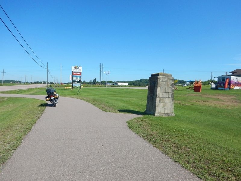
On Trans-Canada Highway (Provincial Highway 17) 0.1 kilometers east of Logos Land Road, on the right when traveling west.
Nearby was found in 1867 by Edward George Lee an Astrolabe bearing the date 1603. This instrument, used for determining latitude, is believed to have been lost by Champlain about 7th June, 1613, on his exploratory expedition up the Ottawa River. — — Map (db m105537) HM
Near Trans-Canada Highway (Provincial Highway 17) 0.3 kilometers west of Main Street.
The Father of New France, Samuel de Champlain, made the first of two voyages into what is now Ontario in 1613. He travelled up the Ottawa River seeking the northern sea (Hudson Bay) which one of his five companions, Nicolas de Vignau, claimed to . . . — — Map (db m105539) HM