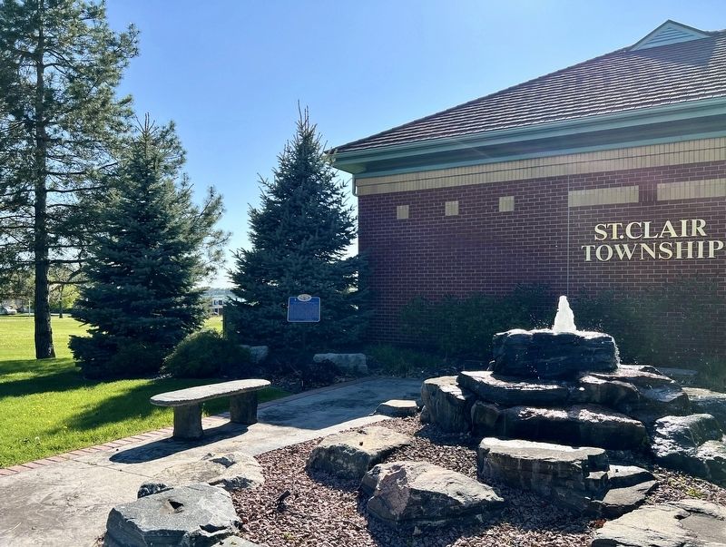
On Emily Street 0.1 kilometers north of Victoria Street, on the left when traveling north.
The first block of land in Lambton County and the first township to be established within the bounds of the present St. Clair Township was purchased from the Chippewa First Nation by the Crown in 1796. It was named Shawanese Township and was known . . . — — Map (db m272613) HM
On Emily Street at Victoria Street, on the left when traveling north on Emily Street.
This park located in Mooretown has been set aside to commemorate Canada's 150th anniversary (1867-2017). St. Clair Township is named for the St. Clair River which forms its western boundary. Lake St. Clair (Lac Sainte-Clair) and the St. Clair River . . . — — Map (db m272611) HM
On Emily Street 0.1 kilometers north of Victoria Street when traveling north.
The Township of Moore
was incorporated in 1850 as part of
the County of Lambton, and celebrated
its 150th anniversary in the
millennium year 2000.
Prior to 1850, Moore Twp. was included
along with Sombra Twp. as part of
the original St. Clair . . . — — Map (db m272637) HM