Marker Logo
THE HISTORICAL
MARKER DATABASE
“Bite-Size Bits of Local, National, and Global History”


2 entries match your criteria.  


Historical Markers in Port Severn

 
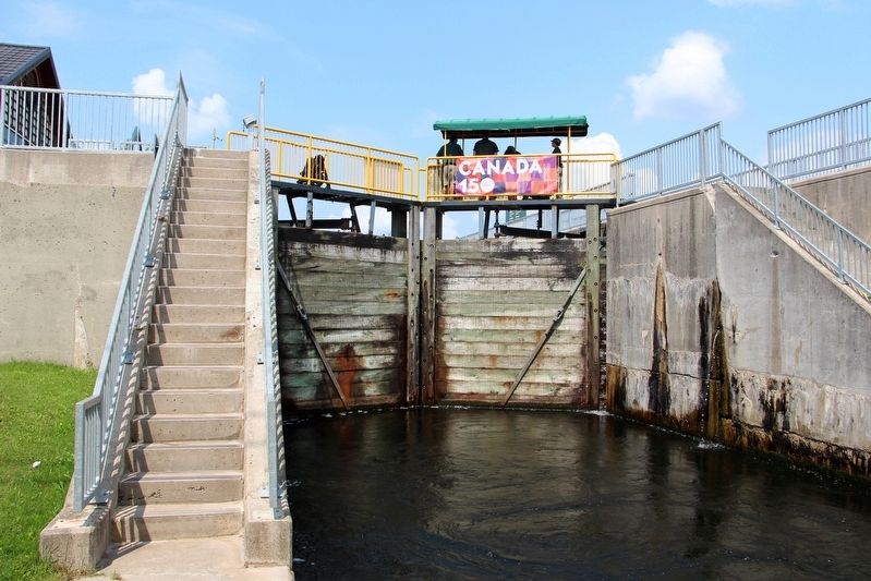
By cmh2315fl via Flickr (CC BY-NC 2.0), August 3, 2017
Port Severn Lock 45
1 ► Ontario, Simcoe County, Port Severn — Port Severn Swing Bridge, Lock 45 — Pount Tourant de Port Severn, Écluse No 45 —
[English] Numerous surveys dating back to the 1790s led to the selection of Port Severn as the western outlet for the Trent Canal. In 1913, York Construction company won a contract to build a main regulating dam, small water control dams . . . — — Map (db m196033) HM
2 ► Ontario, Simcoe County, Port Severn — Water Control Dams/Port Severn – The Secondary Lock — Barrages de régularisation des eaux/Port Severn – L’écluse secondaire —
[English] Water Control Dams A complex system of dams was needed to manage water levels for navigation on the lower Severn River. In many cases older timber structures built by loggers were replaced with concrete. Port Severn – The . . . — — Map (db m196025) HM



CeraNet Cloud Computing sponsors the Historical Marker Database.
This website earns income from purchases you make after using our links to Amazon.com. We appreciate your support.
Paid Advertisement
Nov. 19, 2026