3 entries match your criteria.
Historical Markers in Ingleside, Ontario
By Robert Rusaw, July 23, 2022
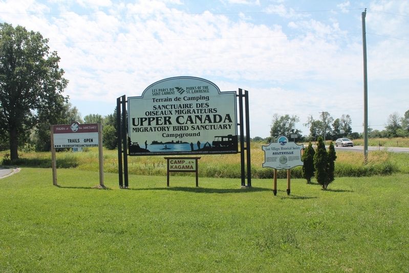
Lost Villages Historical Society Marker
| On Aultsville Road (County Highway 2), on the left when traveling west. |
| On County Road 2 at Killarney Road, on the right when traveling east on County Road 2. |
| On Morrison's Road, on the left when traveling east. |
May. 2, 2024