5 entries match your criteria.
Related Historical Markers
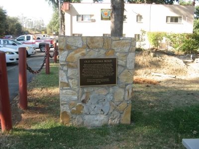
By Syd Whittle, September 8, 2008
Old Coloma Road Marker
SHOWN IN SOURCE-SPECIFIED ORDER
| 1 ► California, El Dorado County, Rescue — Old Coloma Road — |
| On Green Valley Road at Deer Valley Road, on the left when traveling east on Green Valley Road. | |||
| 2 ► California, Sacramento County, Sacramento, Midtown — 525 — Sutter's Fort — This Tree Came From Kandern, Baden, Germany — The Birthplace of General John A. Sutter — |
| 3 ► California, El Dorado County, Coloma — 530 — Sutter’s Mill Site — |
| Near Coloma Road (California Route 49) north of Mt Murply Road, on the right when traveling north. | |||
| 4 ► California, Sacramento County, Gold River — 746 — The Coloma Road — |
| 5 ► California, Sacramento County, Sacramento, Midtown — 745 — The Coloma Road — |
| On L Street at 28th Street, on the right when traveling west on L Street. | |||