6 entries match your criteria.
Related Historical Markers
La Chute Riverwalk, Ticonderoga Bicentennial Park
By Cosmos Mariner, June 28, 2005
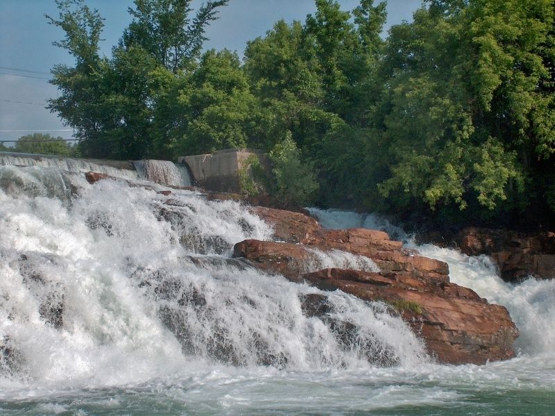
La Chute River Falls (view from near marker)
SHOWN IN SOURCE-SPECIFIED ORDER
| Near Tower Avenue, 0.1 miles north of Montcalm Street, on the right when traveling north. |
| On Tower Avenue at Mccormick Street, on the right when traveling north on Tower Avenue. |
| Near Montcalm Street (State Highway 74) 0.2 miles west of Mountain Road (State Highway 22), on the right when traveling west. |
| On Montcalm Street (New York State Route 74) at Cannonball Path, on the right when traveling west on Montcalm Street. |
| Near Montcalm Street (Route 74) at Cannonball Path, on the right when traveling west. |
| On Tower Avenue at Burgoyne Road / Rogers Street, on the right when traveling north on Tower Avenue. |
May. 19, 2024