On this site in August of 1924 construction started on the St. Francis Dam, a unit of the Los Angeles Aqueduct. When it was completed in May of 1926, this concrete dam stood 185 feet above the stream bed, impounding a 610 surface-acre lake.
. . . — — Map (db m143721) HM
The 185-foot concrete St. Francis Dam, part of the Los Angeles aqueduct system, stood 1½ miles north of this site. On March 12, 1928, the 185-foot high concrete dam collapsed just before midnight, sending 12½ billion gallons of water roaring down . . . — — Map (db m143722) HM
The St. Francis Dam, part of the
Los Angeles Aqueduct system,
stood 1½ miles north of this site.
On March 12, 1928, the 185-foot high
concrete dam collapsed just
before midnight, sending 12⅓ billion
gallons of water roaring down . . . — — Map (db m146564) HM
Harry Carey Sr. was an early silent-screen actor who starred in more than 200 films. In 1916 he took over the homestead rights of a previous settler and established his ranch of almost 2,000 acres. Carey, the first of many film actors to settle in . . . — — Map (db m146570) HM
The bell in the tower of this station was fabricated by the C.S. Bell Company of Hillsboro, Ohio. It weighs approximately 400 pounds and measures 30 inches in diameter at the base. The bell originally hung in the belfry of Saugus Elementary School, . . . — — Map (db m143725) HM
This house was one of a group of cottages built by the Southern
California Edison Company to house employees in 1919 when the Edison substation in Newhall opened. The house was moved west of Saugus in 1925 when the new substation was completed, . . . — — Map (db m119564) HM
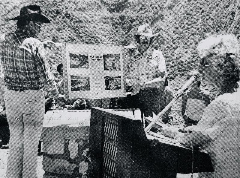
This memorial is dedicated to commemorate the 90th anniversary of the St. Francis Dam Disaster.
Just before midnight on March 12, 1928, the dam collapsed and sent billions of gallons of water down the San Francisquito Canyon, eventually meeting . . . — — Map (db m146566) HM
Three minutes before midnight on the night of March 12, 1928, the St. Francis Dam collapsed sending over twelve billion gallons of water and debris the length of the Santa Clara River Valley from San Francisquito Canyon through Piru, Fillmore, and . . . — — Map (db m146565) HM
Minutes before midnight on the chilly evening of March 12, 1928, the St. Francis Dam failed. The dam's 200-foot high concrete wall crumpled and collapsed, sending billions of gallons of raging flood waters down San Francisquito Canyon, about five . . . — — Map (db m146569) HM
To honor victims of the St. Francis Dam Disaster, March 12, 1928. This monument of native stone was placed in respectful memory of the nameless souls whose unmarked graves rest in this hallowed ground. — — Map (db m146567) HM