10 entries match your criteria.
Related Historical Markers
— St. Francis Dam Disaster sites.
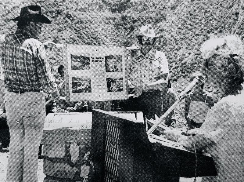
By The Signal newspaper, May 21, 1978
St. Francis Dam Marker
SHOWN IN SOURCE-SPECIFIED ORDER
| Near San Francisquito Canyon Road, 0.3 miles south of San Francisquito Motorway. Reported missing. |
| On San Francisquito Canyon Road, 9 miles north of Copper Hill Road, on the right when traveling north. |
| Near San Francisquito Canyon Road, 9 miles north of Copper Hill Road, on the right when traveling north. |
| Near Avenida Rancho Tesoro, 0.8 miles north of Copper Hill Drive. |
| Near Market Street at Railroad Avenue. |
| On Newhall Avenue west of Railroad Avenue. |
| On Center Street, 0.5 miles west of Main Street, on the left when traveling west. |
| Near South Sespe Street south of South Mountain Road, on the left when traveling south. |
| On East 10th Street (County Route 150) at East Santa Barbara Street, on the right when traveling north on East 10th Street. |
| Near Cemetery Road north of West Santa Paula Street. |
May. 21, 2024