7 entries match your criteria.
Related Historical Markers
The Republic Iron Mine, Republic, Michigan
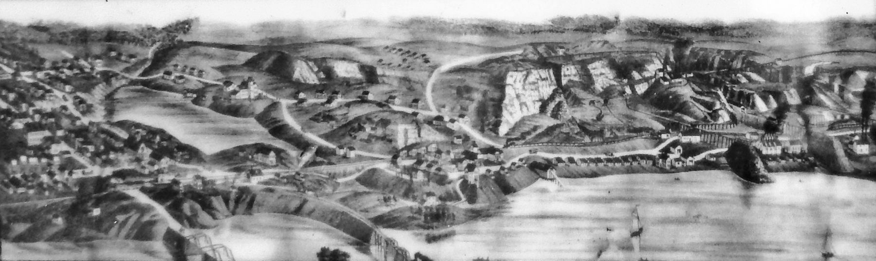
Marker detail: Republic Mine, 1880’s Lithograph
SHOWN IN SOURCE-SPECIFIED ORDER
| Near Park City Road, 0.2 miles south of River Road (County Road 601), on the right when traveling south. |
| Near Park City Road, 0.2 miles south of River Road (County Road 601), on the right when traveling south. |
| Near Park City Road, 0.2 miles south of River Road (County Road 601), on the right when traveling south. |
| Near Park City Road, 0.2 miles south of River Road (County Road 601), on the right when traveling south. |
| Near Park City Road, 0.2 miles south of River Road (County Road 601), on the right when traveling south. |
| Near Park City Road, 0.2 miles south of River Road (County Road 601), on the right when traveling south. |
| Near Park City Road at Republic Avenue, on the right when traveling south. |
May. 18, 2024